Watershed Master Planning
Project Overview
The Johnson County Stormwater Management Program initiated a county-wide Phase 1 master planning effort as part of its shift toward watershed-based improvements.
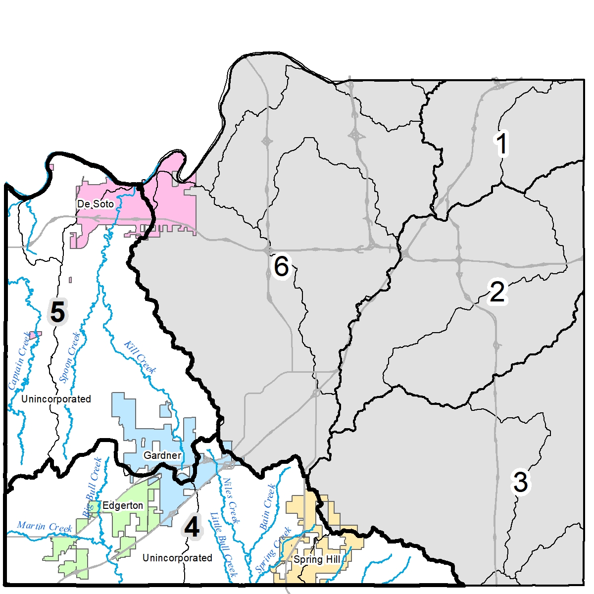
GBA was retained to lead the development of Phase 1 master plans in Watershed 4 (Marais des Cygnes River) and Watershed 5 (Captain and Kill Creeks) in the southwest and eastern portions of the county. These two major watersheds are predominately rural but are at risk of rapid urbanization. The GBA team of consultants also included The Conservation Fund, FYRA, Stantec and Vireo.

The primary objective of the project was to identify the highest risks and needs and develop holistic watershed-based solutions for Phase 2 consideration that addresses flooding, water quality and stream erosion.
The Project Involved:
- Using ArcGIS-based processes to characterize watershed risks and identify improvement opportunities.
- Assigning risk scores to flood-prone areas, identifying targeted water quality pollutants and impairments, and evaluating areas for potential conservation, preservation and restoration.
- Delineating erosion hazard zones and performing LiDAR-based terrain comparison analysis along stream corridors.
- Analyzing the degree of hydromodification or changes in natural stream flows in sub-watersheds.
- Developing recommended priority action areas and solutions for the Watershed Organizations to consider for Phase 2 detailed analysis, specific cost/benefit scoring, and development of a five-year capital improvements plan.